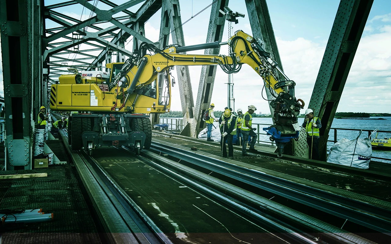
All vulnerabilities and risks mapped out
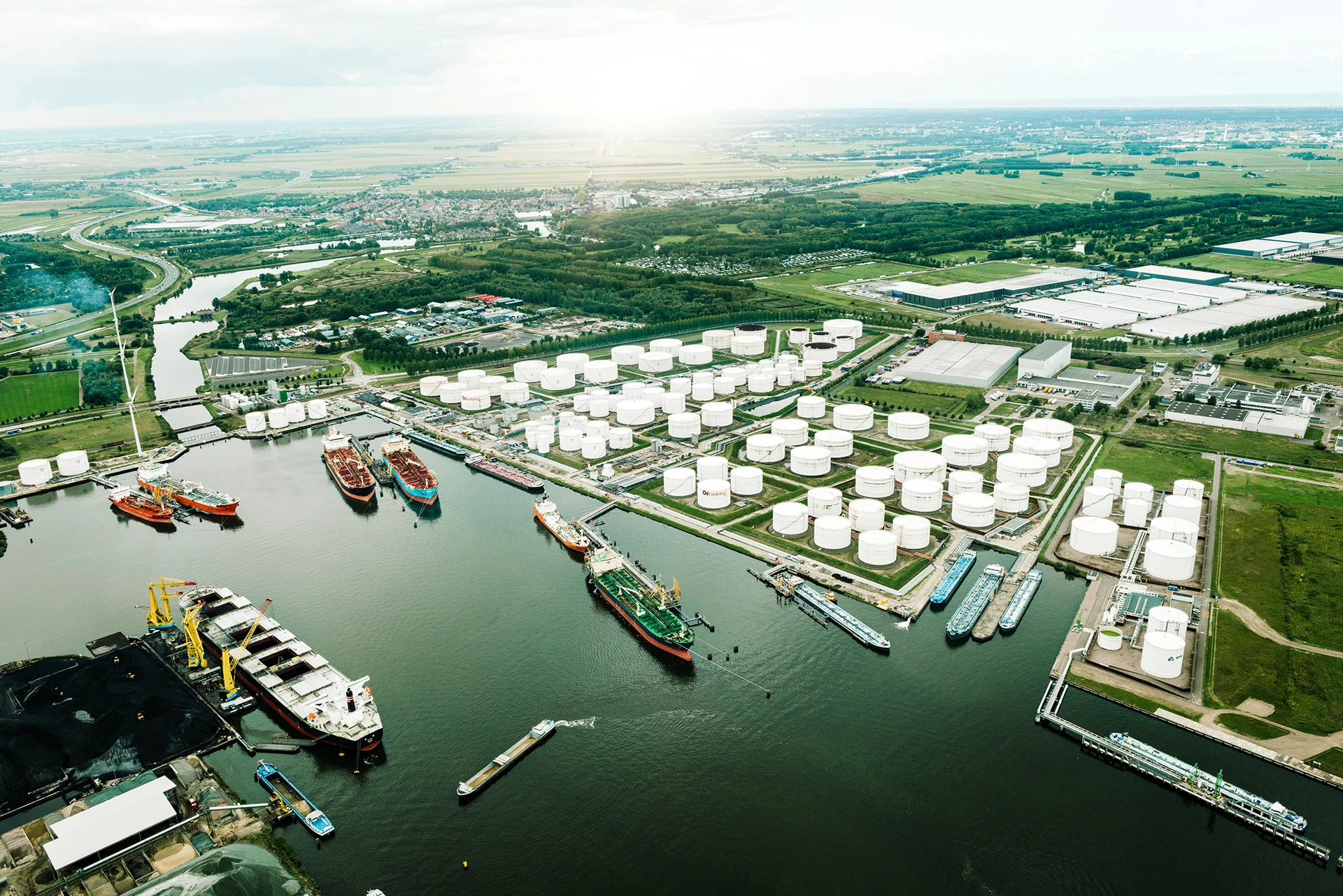
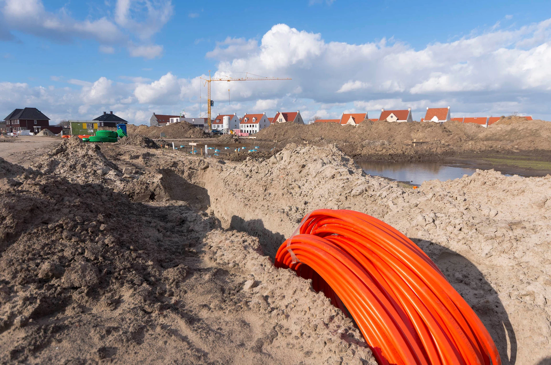
In the Netherlands, various parties ensure that our critical infrastructure - such as railways, airports, and underground networks - continue to function properly on a daily basis. And if there’s a hitch somewhere, they want to know about it quickly, because that means they can also recognize and solve the problem quickly. To that end, location data is essential.
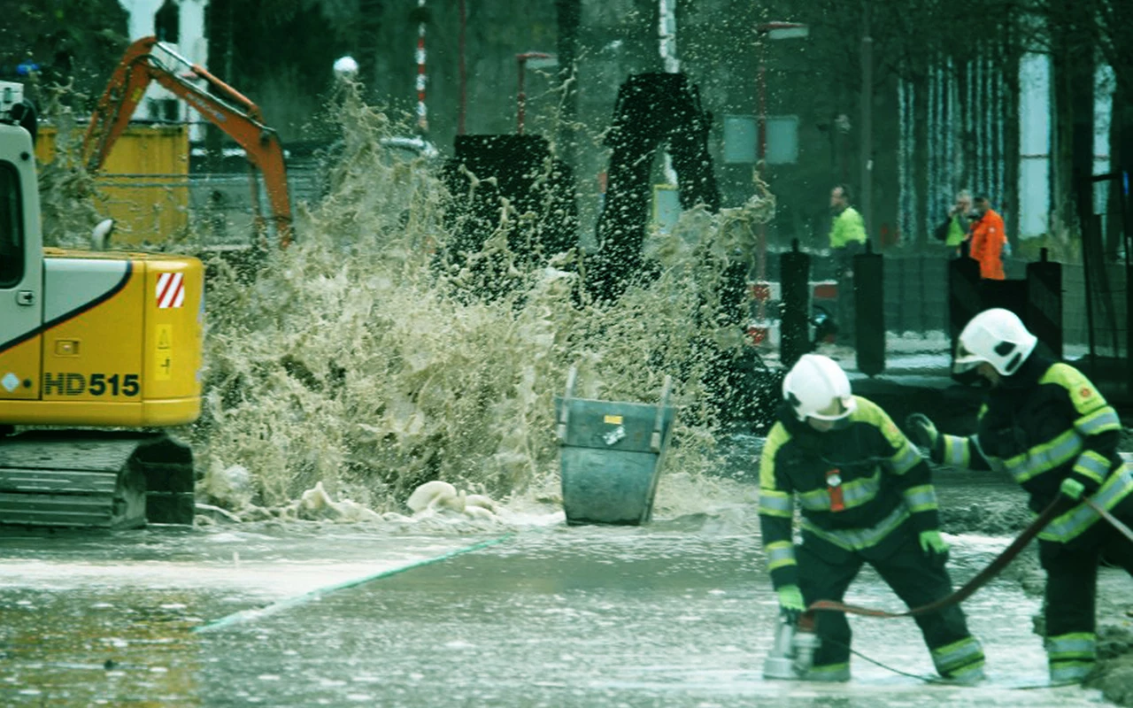
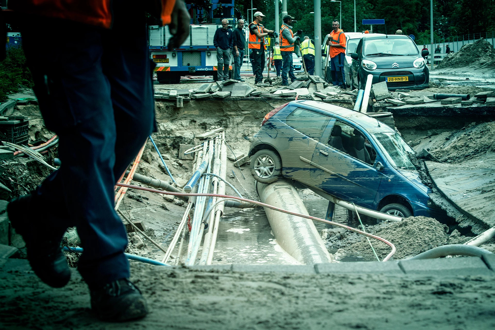
A crisis can disrupt an entire country. That’s why it’s important to properly map out vulnerabilities and potential risks. Of course, preventing incidents is preferred. But if it does go wrong? In that case, it’s important that everyone knows what to do. From the parties who have to solve it, to the citizens who have become the victims.
Sogelink (formerly known as Geodan) offers smart location intelligence solutions to quickly and reliably map out risks and quickly resolve incidents. We know exactly where the critical infrastructure in our country is located, keep track of whether everything is still working, and help to bring all crisis partners into action when crucial networks unexpectedly go off-track.

