Expertisegebied Logistiek en mobiliteit header

The optimal route from A to B?

All roads lead to Rome. But which is the best? Geodan knows, exactly. Because we connect all kinds of relevant data and information, we can tell you everything about the most efficient routes, the fastest means of transport, and realistic travel times. Now that’s smart business.

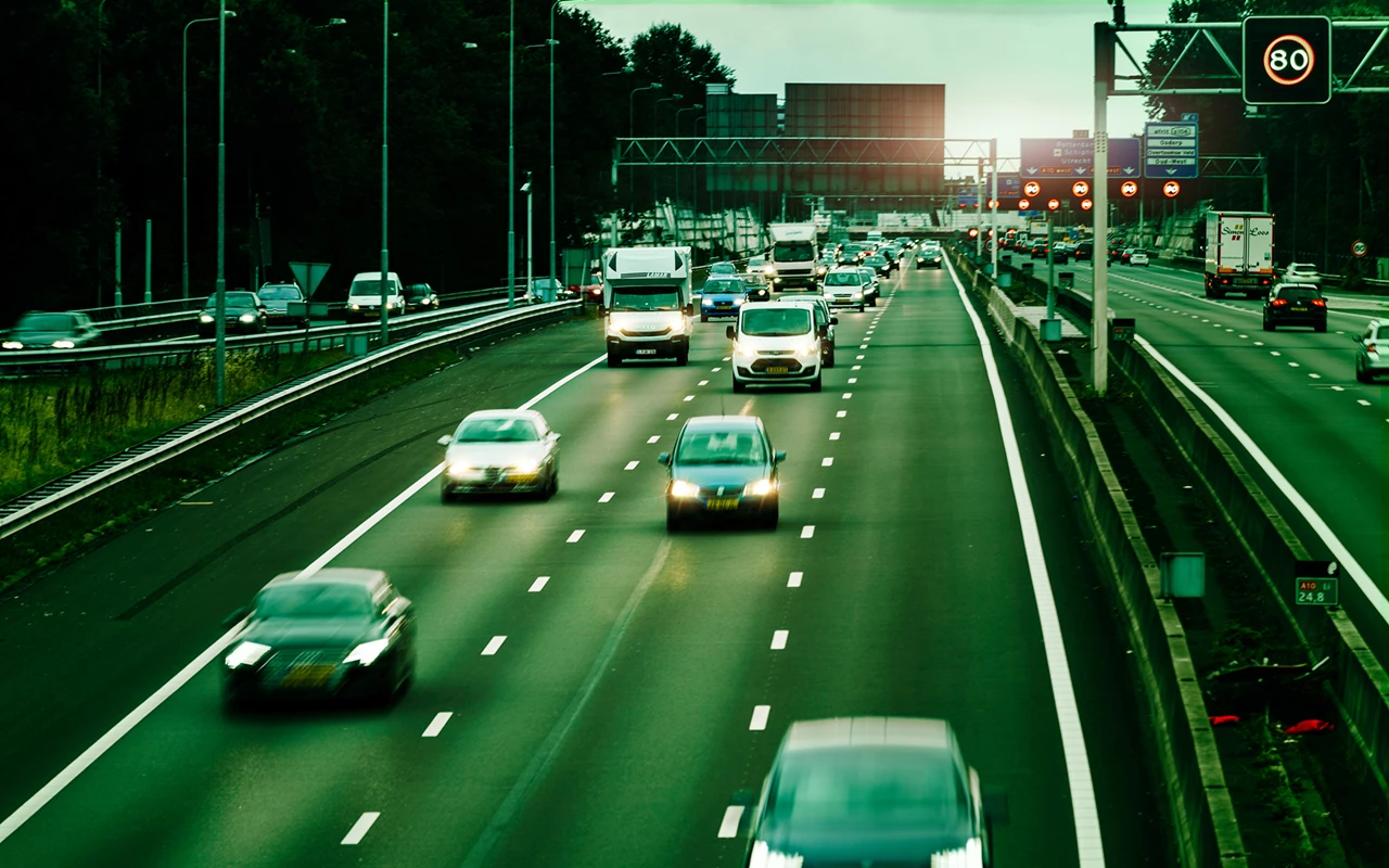
The Netherlands has 12 provinces, 380 municipalities and more than 135,000 kilometers of roads that connect all these places to each other. But there is often only one optimal route to get from A to B and eventually to Z.

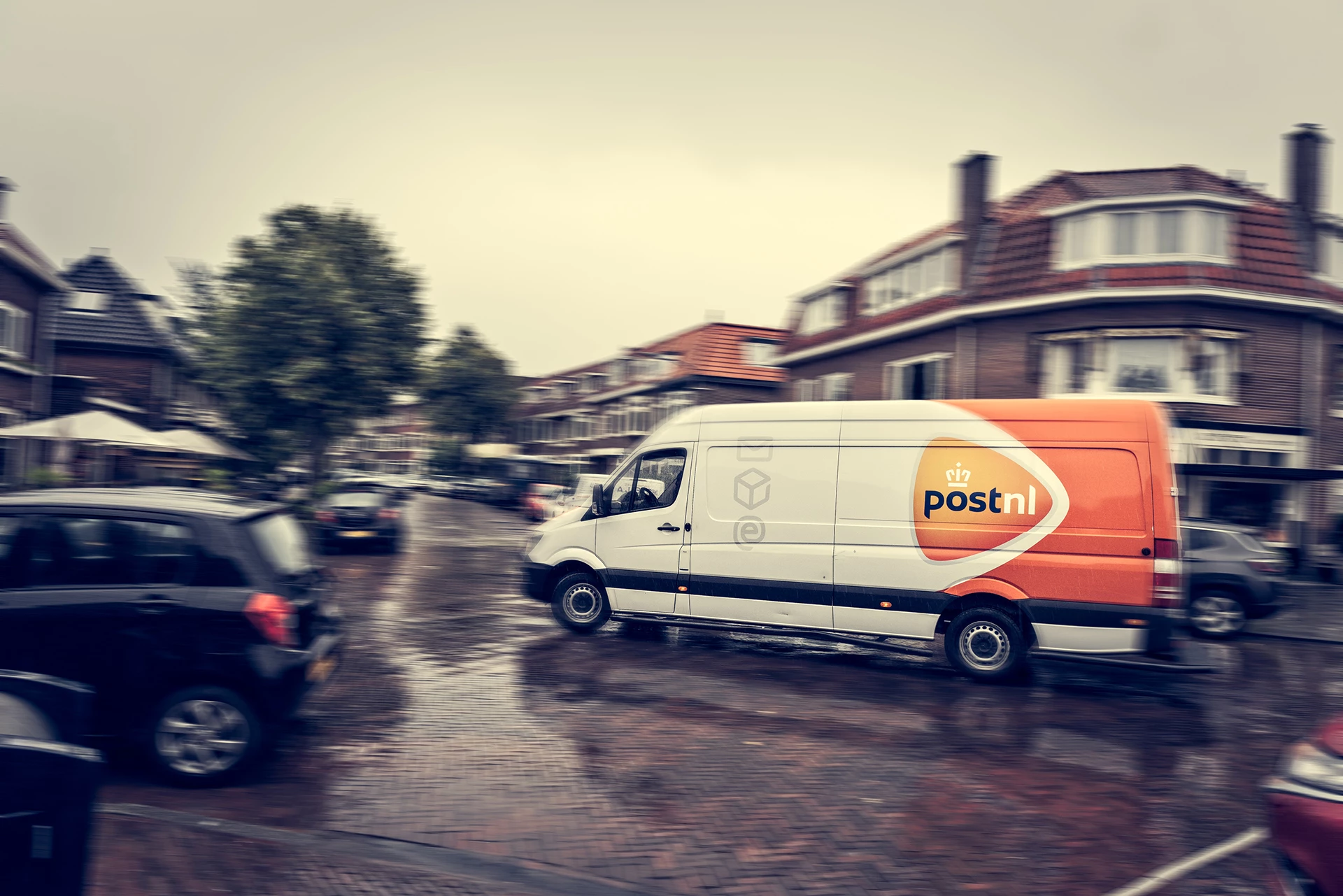
How do you find that route? Which modes of transport do you pick? Where can you expect delays? How long does a drop off take? And how do you translate the answers to all of these questions into a realistic schedule, so that you can properly inform your customers about arrival times so they can actually accept their deliveries?

Geodan has the data, knowledge, and services needed to accurately map these out in real time. With our cloud platform GeodanMaps, we always make the most up-to-date data on an area available. This allows you to see exactly how long it takes to walk, cycle, or drive somewhere, and you’ll also discover the best location for a depot or pick-up point.

Cases

In practice

Smart business means making smart logistical decisions. Geodan knows all about that. We calculate the optimal Monday route for PostNL, for instance, so that mourning cards and other urgent mail can be delivered as quickly as possible. Moreover, we ensure that salvage crews can follow their co-workers through tracking and tracing, so that they can determine who can be at the scene of an accident the quickest.

All cases
Location intelligence als water uit de kraan

PostNL’s Monday route

With the help of the Monday route, special mail gets to people’s homes as efficiently as possible.

Producten&diensten Incidentmanagement mobiliteit

Rhenus drives as efficiently as possible

Geodan calculates the most efficient route for Rhenus Data Destruction’s trucks.

case - CROW analyse OV-haltes

Better public transport thanks to CROW

Analyzing stops for better public transport

Products and services

Our offer

Want to do smart business? Use our cloud platform for location-intelligence solutions: GeodanMaps.


By combining data, knowledge, and services, we provide the best possible route!
In the mobility sector, knowing who is where comes in very handy.
Our datasets and services offer all sorts of valuable information, ranging from insight into the number of stories in a building to predicting stop times.