Interested?

Want to know more or are you interested in a demo? Feel free to contact me.
Want to know more or are you interested in a demo? Feel free to contact me.
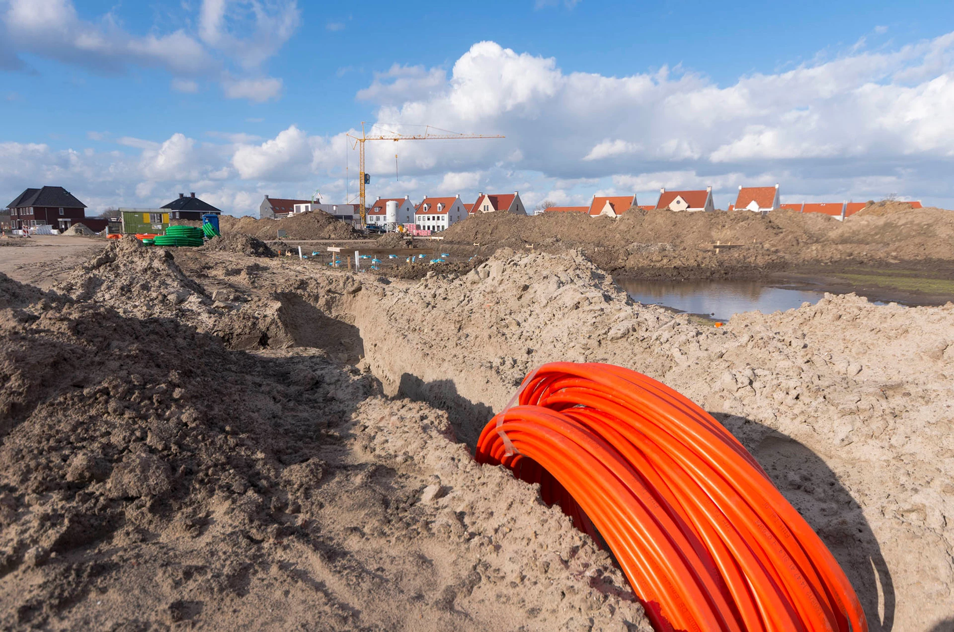
When constructing or maintaining water, gas, and electricity infrastructure or implementing energy-saving measures, it is crucial that you know what the surroundings and subsurface look like. Our datasets and services can be of help. Developed specially for your company. Discover how location intelligence can improve your business and business processes.
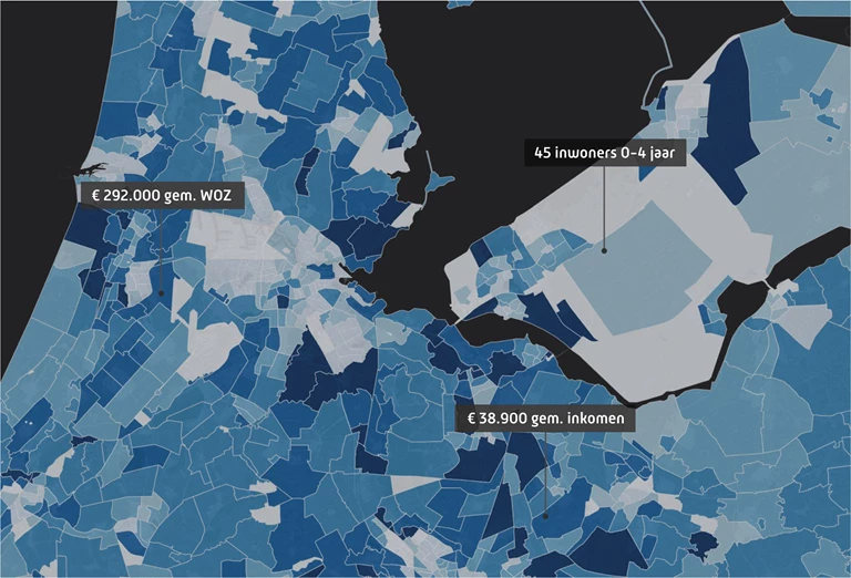
With the Dutch Addresses and Buildings database, you get clear, instant insight into all addresses and buildings in the country, including zoning data and information about the years of construction. That way, locating target audiences and businesses that may be interesting to you becomes a piece of cake.
Consumer data
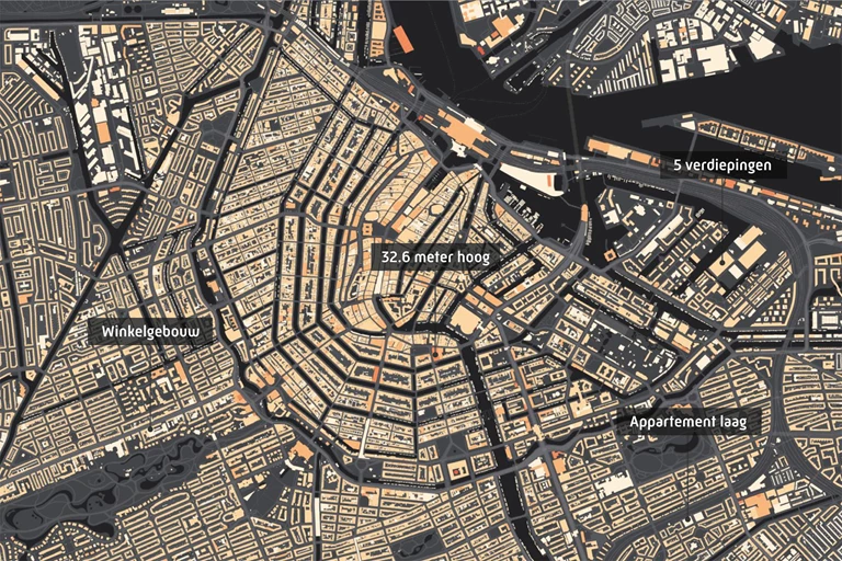
Building Properties
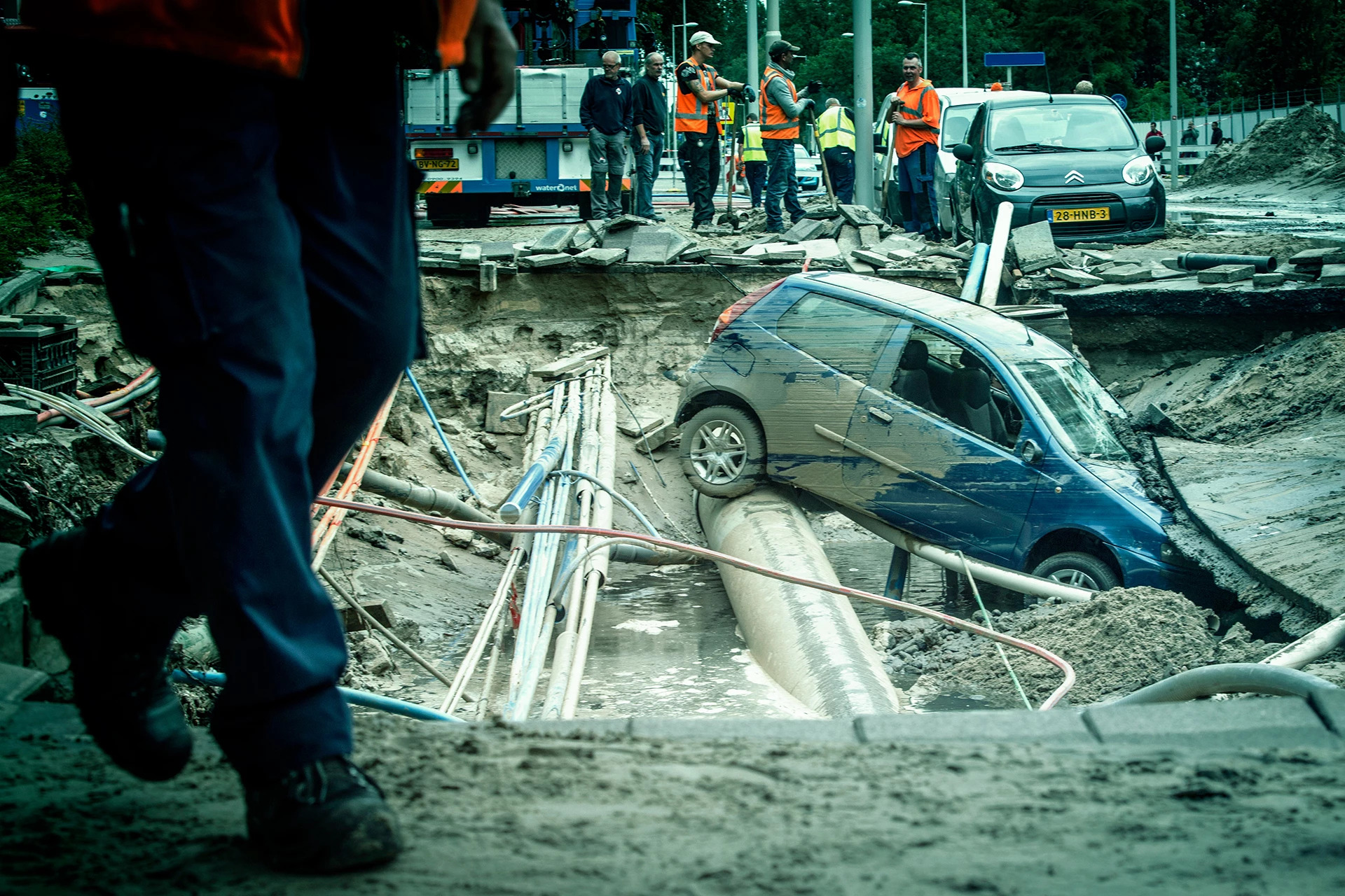
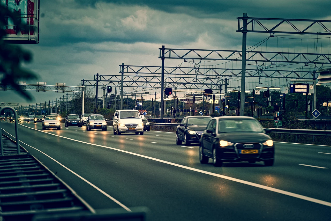
To limit traffic congestion, damaged cars must be removed from the road as quickly as possible after an incident. AIM (Arrival time system Incident Management) monitors the duration of the operation and Bergerview visualizes the location and status of the salvagers involved.
Geodan offers handy tools for Energy and drinking water companies